
"Integrating Geographic Information Systems in Sustainability Planning in Eleuthera, Bahamas" by Philana A. Jeremiah
This is one of a series of posts written by students in the UA Master's in Development Practice (MDP) Program based on work conducted through their summer field practicums and other research and advocacy activities.
This policy brief was written by MDP student Philana A. Jeremiah.
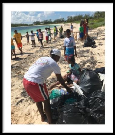
"Low lying countries such as The Bahamas, Indonesia and Thailand are at risk of being wiped off the map due to rising sea levels and climate change. The need to protect these countries’ unique natural resources and environment is a main priority. To make an impact on the sustainability of The Bahamas, action needs to be taken today, and the voice of the Bahamians needs to be heard. The Bahamas Plastic Movement has spoken for their community and the sea life by pledging to stop the use of single use plastic by 2020 by initiating the Plastic Bag Ban.
“Geographic Information Systems (GIS), a form of maps-making technology, are capable of showing changes in land, detecting patterns, trends, and uncovering unique topographical images using satellites. GIS is capable of producing rich data useful for organizational decision-making regarding sustainable practices. Data generated from GIS applications can lead to more precise descriptive information of sustainability opportunities and challenges in the Bahamas. This enhanced information can be used to modify current programs or development programs aimed at achieving the ultimate goal of maintaining the beautiful Bahamas. My research project aimed to foster the idea of using geo-visual representation to preserve the beauty of the island…”